elDirectori.net
Aquest lloc web fa servir cookies pròpies i de tercers per millorar l’experiència de navegació, i oferir continguts i serveis d’interès. En continuar la navegació entenem que s’accepta la nostra política de galetes.
Directori dels Països Baixos Septentrionals


Països Baixos Septentrionals
")
Foto de Shutterstock.com. Vista aèria del centre històric de Groningen..
")
Foto de Shutterstock.com. Reserva natural de Baggelhuizen, a Assen. .
| Indicador | Valor |
| Extensió (any 2015). Font : EUROSTAT | 9.080,00 Km2 |
| Població (any 2017). Font : EUROSTAT | 1.722.247 Hab. |
| PIB per càpita (any 2016). Font : EUROSTAT | 33.000 € |

Groningen
+ info
| Indicador | Valor |
| Extensió (any 2015). Font : EUROSTAT | 2.406,00 Km2 |
| Població (any 2017). Font : EUROSTAT | 583.581 Hab. |
| PIB per càpita (any 2016). Font : EUROSTAT | 41.300 € |
| Aeroport/HeliportLocalitatTipus Aeroport | Codi IATA | Codi ICAO |
| Oostwold petit aeroport | EHOW | |
| Stadskanaal-Onstwedde Stadskanaalpetit aeroport | EHST |
Oost-Groningen
- Extensió (any 2015). Font : EUROSTAT
- 851,00 Km2
- Població (any 2017). Font : EUROSTAT
- 147.393 Hab.
- PIB per càpita (any 2015). Font : EUROSTAT
- 20.700 €
+ info
Delfzijl en omgeving
- Extensió (any 2015). Font : EUROSTAT
- 273,00 Km2
- Població (any 2017). Font : EUROSTAT
- 46.850 Hab.
- PIB per càpita (any 2015). Font : EUROSTAT
- 30.700 €
+ info
Overig Groningen
- Extensió (any 2015). Font : EUROSTAT
- 1.281,00 Km2
- Població (any 2017). Font : EUROSTAT
- 389.338 Hab.
- PIB per càpita (any 2015). Font : EUROSTAT
- 55.400 €
+ info
")
Foto de Shutterstock.com. Academiegebouw van RUG és l'edifici principal de la Universitat de Groningen..
Frísia
+ info
| Indicador | Valor |
| Extensió (any 2015). Font : EUROSTAT | 3.994,00 Km2 |
| Població (any 2017). Font : EUROSTAT | 646.874 Hab. |
| PIB per càpita (any 2016). Font : EUROSTAT | 28.800 € |
| Aeroport/HeliportLocalitatTipus Aeroport | Codi IATA | Codi ICAO |
| Ameland Amelandpetit aeroport | EHAL | |
| Drachten Drachtenpetit aeroport | EHDR |
Noord-Friesland
- Extensió (any 2015). Font : EUROSTAT
- 1.684,00 Km2
- Població (any 2017). Font : EUROSTAT
- 332.795 Hab.
- PIB per càpita (any 2015). Font : EUROSTAT
- 29.500 €
+ info
, capital de Frísia. (font: Shutterstock.com)")
Foto de Shutterstock.com. La ciutat frisona de Ljouwert (Leeuwarden en neerlandès), capital de Frísia..
Zuidwest-Friesland
- Extensió (any 2015). Font : EUROSTAT
- 1.144,00 Km2
- Població (any 2017). Font : EUROSTAT
- 106.501 Hab.
- PIB per càpita (any 2015). Font : EUROSTAT
- 24.100 €
+ info
Zuidoost-Friesland
- Extensió (any 2015). Font : EUROSTAT
- 1.165,00 Km2
- Població (any 2017). Font : EUROSTAT
- 207.578 Hab.
- PIB per càpita (any 2015). Font : EUROSTAT
- 28.500 €
+ info
. (font: T.W. van Urk / Shutterstock.com)")
Foto de T.W. van Urk / Shutterstock.com. Celebració del festival agrícola del Flaeijel a la vila frisona de Nijhoarne (en neerlandès Nieuwehorne)..
Drenthe
+ info
| Indicador | Valor |
| Extensió (any 2015). Font : EUROSTAT | 2.680,00 Km2 |
| Població (any 2017). Font : EUROSTAT | 491.792 Hab. |
| PIB per càpita (any 2016). Font : EUROSTAT | 28.800 € |
")
Foto de Aerovista Luchtfotografie / Shutterstock.com. Vista aèria del Circuit d'Assen..
| Aeroport/HeliportLocalitatTipus Aeroport | Codi IATA | Codi ICAO |
| Hoogeveen Hoogeveenpetit aeroport | EHHO |
Noord-Drenthe
- Extensió (any 2015). Font : EUROSTAT
- 1.061,00 Km2
- Població (any 2017). Font : EUROSTAT
- 192.497 Hab.
- PIB per càpita (any 2015). Font : EUROSTAT
- 28.500 €
+ info
Zuidoost-Drenthe
- Extensió (any 2015). Font : EUROSTAT
- 924,00 Km2
- Població (any 2017). Font : EUROSTAT
- 168.131 Hab.
- PIB per càpita (any 2015). Font : EUROSTAT
- 26.000 €
+ info
Zuidwest-Drenthe
- Extensió (any 2015). Font : EUROSTAT
- 695,00 Km2
- Població (any 2017). Font : EUROSTAT
- 131.164 Hab.
- PIB per càpita (any 2015). Font : EUROSTAT
- 29.900 €
+ info
#iTGN
-
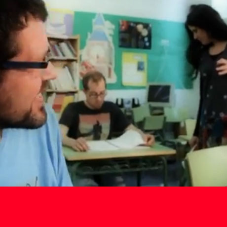
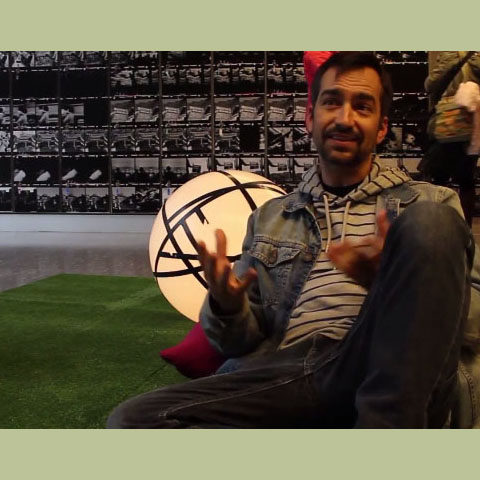
 Jesús Monllaó, sessió contínua...
El director de cinema tarragoní Jesús Monllaó Plana (1967) ens apropa, en aquesta entrevista concedida al canal youtube #iTGN , la…
Llegeix més
Jesús Monllaó, sessió contínua...
El director de cinema tarragoní Jesús Monllaó Plana (1967) ens apropa, en aquesta entrevista concedida al canal youtube #iTGN , la…
Llegeix més
-
 Jordi Llort (Gallus) - The big bang crunch
Del 15 al 30 d'abril va tenir lloc al CRAI Campus Catalunya de la URV l'exposició "The Big Bang Crunch.…
Llegeix més
Jordi Llort (Gallus) - The big bang crunch
Del 15 al 30 d'abril va tenir lloc al CRAI Campus Catalunya de la URV l'exposició "The Big Bang Crunch.…
Llegeix més
-
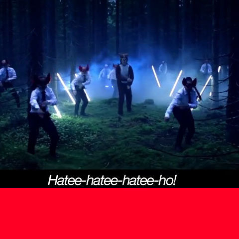
 Jordi Abelló: un viatge al galliner...
Jordi Abelló, Reus. Ens convida al seu galliner on mirades serenes ens acullen des de les parets. Colors, textures, essències,…
Llegeix més
Jordi Abelló: un viatge al galliner...
Jordi Abelló, Reus. Ens convida al seu galliner on mirades serenes ens acullen des de les parets. Colors, textures, essències,…
Llegeix més
-
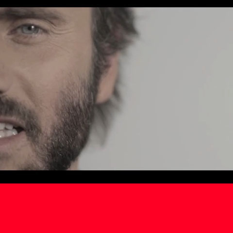
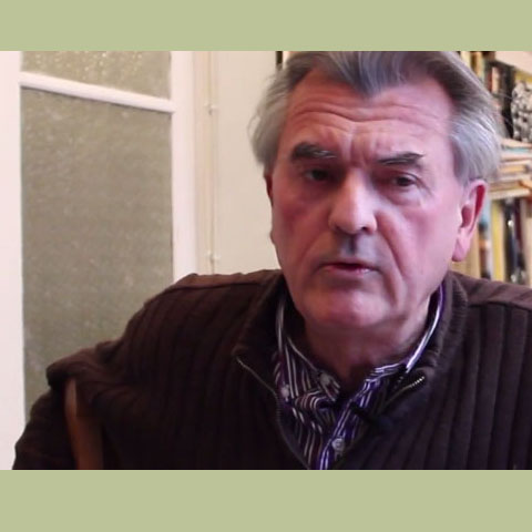 Ferran Gerhard: escèptic nihilista
Ferran Gerhard (Valls, 1953) viu a Tarragona. Escèptic nihilista, ex-periodista i actualment juntaparaules de ficció. Coincideix amb Sòfocles que "ningú…
Llegeix més
Ferran Gerhard: escèptic nihilista
Ferran Gerhard (Valls, 1953) viu a Tarragona. Escèptic nihilista, ex-periodista i actualment juntaparaules de ficció. Coincideix amb Sòfocles que "ningú…
Llegeix més
- 1
- 2
›
‹